Which northern Ontario town had its own street cars, was home to the guy who wrote the Hardy Boys, had the most millionaires in Canada, was the first home of the team that would become the Montréal Canadiens, and then promptly had its prosperity wiped out by a massive fire?

Back off St. Clair Avenue West…Haileybury has had streetcars too!
The thing that makes Haileybury really northern is its history. The rise and fall and apparent rebuilding is really interesting and, in my opinion, totally characteristic of northern Ontario.

Once known as Humphrey’s Depot, Haileybury was founded in the early 1900s by a former fur trader on the shores of Lake Temiskaming. He named the town after the school he attended in England. He tried to attract settlers with the usual propaganda leaflets, but as northern Ontarians know, there’s no better way to get the country settled than a gold rush. And that’s what it took to get Haileybury off the ground.
Haileybury road leading into Lake Temiskaming. (Credit; User P199 at Wiki Commons.)
Despite being named after a place in England where wealthy parents got rid of their kids, Haileybury is the start of francophone north-eastern/central Ontario. (Or it is the end, depending on which way you’re traveling on Highway 11.) Approximately 80 percent of Haileyburians are French-first, which is interesting given that their neighbours are primarily anglophone, particularly in New Liskeard (70 percent) and Cobalt (almost completely unilingual.) As you go north after Haileybury, the towns almost alternate – anglo, franco, etc.
The discovery of silver in Cobalt in 1903 started a population explosion in Haileybury, as the town became a bedroom community for prospectors and mine owners. So successful were some that a street in Haileybury was dubbed Millionaire’s Row for the wealthy people it housed.
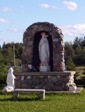
 But of course, this all had to come to a tragic end with the fires of 1922, which killed 11, displaced 3500, and razed the town completely alongside New Liskeard, Dymond, and possibly Cobalt. In order to survive, many families had to hide in wells, lakes, and even down mine shafts. Many of those who escaped to the mines died when the fires, passing over the mines, sucked out the shaft’s oxygen, asphyxiating those who sought refuge underground. The town commorates the fire with a sculpture at its waterfront park, pictured below on the left.
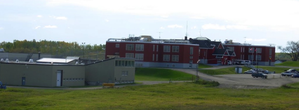
Haileybury Today
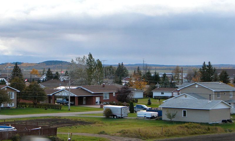
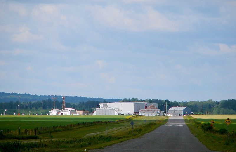
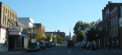
With 4500 people, Haileybury (pronounced locally as Hailey–berry) is the second largest part of the Tri-Towns and Haileybury is the seat of the Temiskaming Shores municipality, which includes New Liskeard and Dymond. It is a quiet lakeshore community that is worth a stop if you’re not in a hurry.

Monument to pioneers that survived the Great Fire by hiding in swamps, lakes, and wells
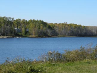
I really like the waterfront. There is a nice little pavilion with the Pioneer’s Monument (pictured) honouring the fire of 1922. There is a little beach and a modern marina as well. The view is nice across the lake to Quebec and in the summer you’ll see a number of boats on the water as Lake Temiskaming is the end of the scenic Ottawa River route, which is popular with boaters. The waterfront is worth a drive, if not a full stop.

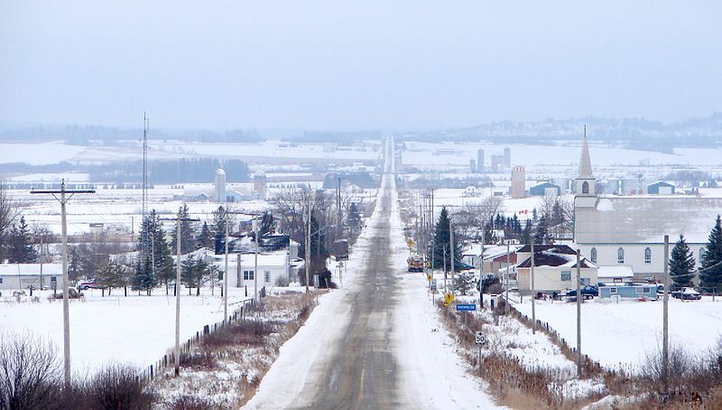
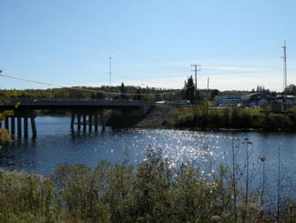
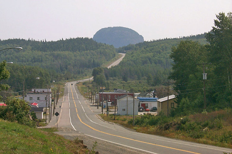
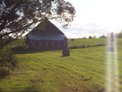
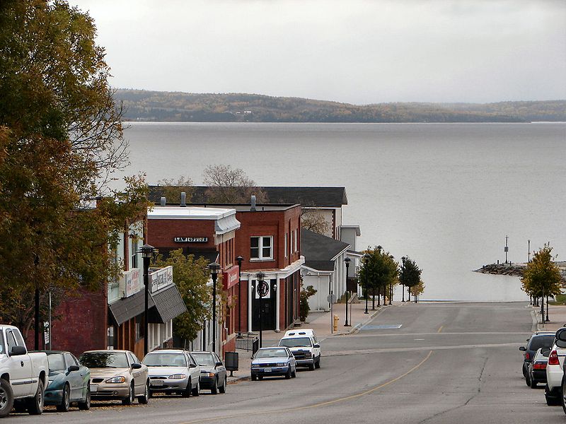
Haileybury on the shores of Lake Temiskaming
In terms of tourism, there is a fair amount to do. The Haileybury Heritage Museum was built to chronicle the history of the town and tell the story of the fire. The museum features a restored 1920s streetcar, as well as an old firepumper and a preserved tugboat that used to ply the waters of Lake Temiskaming. You can also visit the “world famous” Haileybury School of Mines. Haileybury is also home to the Temiskaming Art Gallery. You can see different types of ores at the Rock Park Walk, while there is camping and golf in town as well.
I don’t remember a lot of places to eat, and I think the only Tri-Town Tim Horton’s are in New Liskeard and Dymond. Accommodations include the Leisure Inn, Edgewater Motel and Cabins, the Haileybury Beach Motel, and the Les Suites des Presidents Suites, an upscale bed and breakfast. New Liskeard has more places to stay and eat. Personally I find that Haileybury, despite being very pretty and having stuff to do, is still something of a bedroom community. It doesn’t have the same downtown nor the same ‘feel’ that New Liskeard does. And it’s nothing like Cobalt. At all.
Back to History
Haileybury was also home to the team that would become the Montreal Canadiens. The club played the 1909 NHA season and left for Montreal. It would become the Canadiens only two years later. I think that’s pretty neat.
Haileybury’s streetcars were part of the Nipissing Central Railway that connected the Tri Towns, which would definitely make it unique in the north. Heck I’m sure it ran faster then than Timmins transit does today. Toronto also donated 87 streetcars after the great fire to help shelter the homeless. Today there is one restored streetcar left at the Haileybury Heritage Museum.
And, to finish, Haileybury was also home to Les Macfarlane, who wrote many of the Hardy Boys novels under the pen name Franklin Dixon.
Thanks to Johnny O for the info on the Tri Towns.

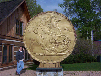
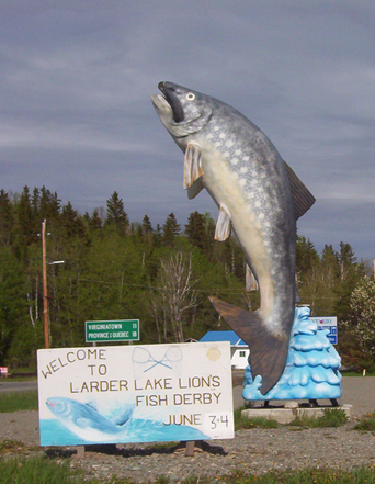
I never liked the Hardy Boys. Too All-American. Too serious. Too predictable. Sure, you knew that Encyclopedia Brown was always going to figure it out too but at least he had a sense of humour. But, anyway, this is a replica of the Hardy Boys’s boat, in Haileybury.