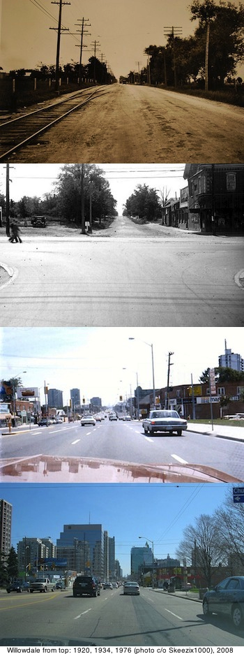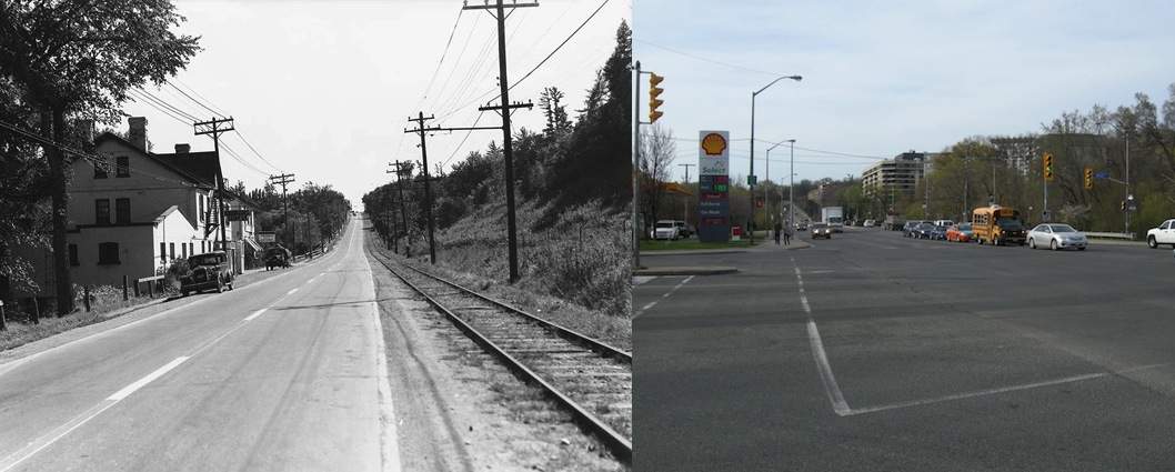
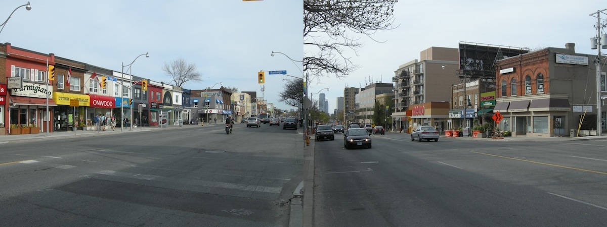
Yonge Street at York Mills in 1936 and 2013
I never had this problem while blogging about the any of the communities from Rainy River through to maybe Richmond Hill. For those communities, it was simple.
But as this blog started making its way into Toronto, a new issue arose –how do you title a blog post about a relatively amorphous and randomly selected portion of a big city?
What’s in a name? Some neighbourhoods get named after their first settler. Or are titled by their original developer. Some names get adopted organically over time. Or are imposed, directly or accidentally, by the powers that be.
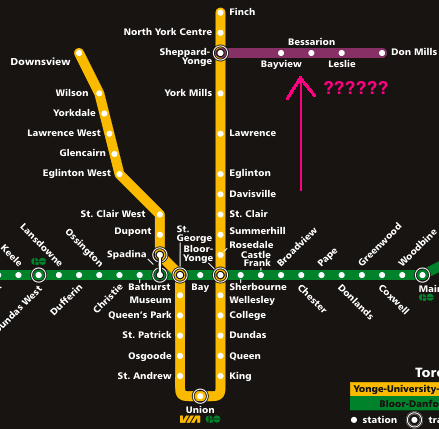
And I think that’s the case here. The local TTC subway station is named York Mills, but I’m not sure that everyone who lives in this area would actually say that they live in York Mills. (Certainly not those that live close to Lawrence Avenue.)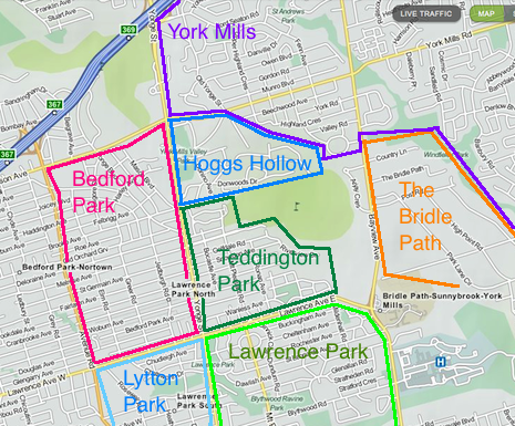 Yonge Street between Highway 401 and Lawrence Avenue is a confluence of different neighbourhoods. But when you’re blogging the world’s longest street, you can’t have a separate entry on every intersection.
When the even the “wrong” side of the tracks is still really really good
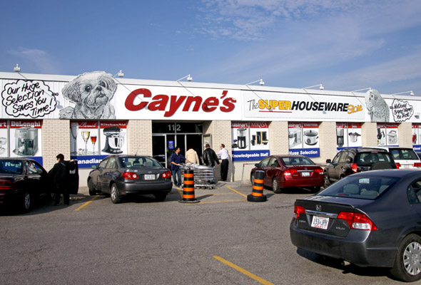
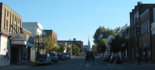
Driving north up Yonge Street, once you hit Lawrence Avenue building heights drop and empty spaces widen. Lawrence is the signal that you’ve made it into some of Toronto’s first suburbs.
The story of this part of Yonge Street is one of west vs. east.
The area west of Yonge was developed in the early 1900s with the intent of attracting middle-class families whose breadwinners were professionals that used the Yonge streetcar (and later subway) to go to work downtown. Take York Mills west (York Mills becomes Wilson Ave once you cross its bleak intersection with Yonge Street) and things will become less fancy as you approach Avenue Road and very working class once you hit Bathurst.
The east side of Yonge Street, however, had plans for big things. Early developers set out to attract Toronto’s rich and wealthy, and boy did they ever succeed.
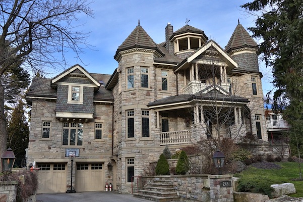
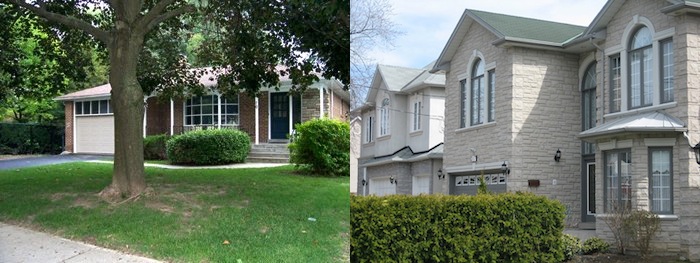
This is a house in York Mills on Old Toronto Road. It’s so expensive that they don’t even list the price in the listing!
The area is chock full of private schools like Havergal, Crescent, and Toronto French, and is home to both the Rosedale and the ultra-private Granite Country Clubs. There’s a specialty York University Campus and the Canadian Film Centre nearby.
Despite Hearst’s claims, this stretch of Highway 11 likely has the most millionaires per capita. There is a stretch of road east of Yonge Street called Millionaire’s Row and the average family income in York Mills hovers around $657 000. The not-exorbitantly-wealthy-but-still-pretty-wealthy parts of York Mills have boomed – house prices have risen nearly 100 percent since 2001. Local neighbourhoods have become synonymous with money, like Lawrence Park, the Bridle Path and Hoggs Hollow.
And no, Hoggs Hollow is not a derisive political or populist commentary on the rich and wealthy gathering in one place, as has happened in the neighbourhoods east of Yonge Street, just south of the 401. It’s named after Joseph Hogg who first settled the area in 1824 and set up a distillery.
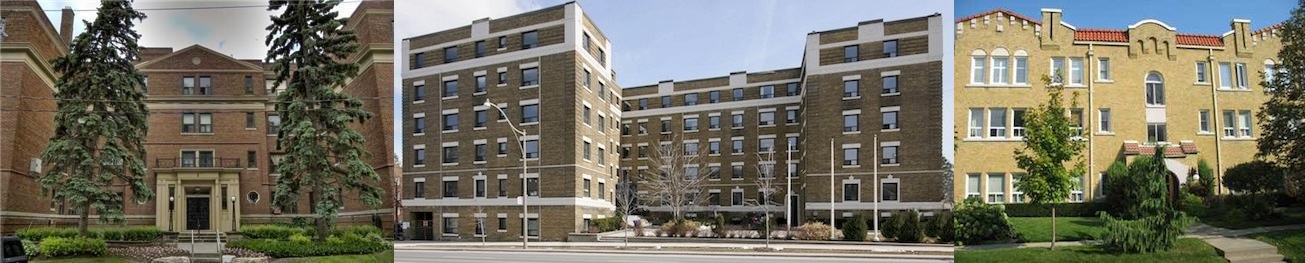
The part of Yonge Street near Lawrence started off much more middle class than it is today. With middling rents and lots of space, some of the art deco apartment buildings are great places to rent near Lawrence.
Despite its more downmarket beginnings, however, the west side of Yonge Street rapidly gentrified and is now home to one of Toronto’s most solidly upper-upper-middle class neighbourhoods. (I’m not sure if there is such a thing as an upper-upper-middle class. Maybe people with big salaries and hefty RRSPs but are still a few missed paycheques away from poverty like the rest of us?)
A neighbourhood dominated by detached houses and really nice semis, Yonge Street north of Lawrence Avenue is one of those neighbourhoods where you wouldn’t expect homes to nearly reach the million dollar mark.
Unless you live in Toronto. If you do, you immediately understand the appeal of a place like Yonge and Lawrence, even if you’re not keen on living amongst the almost-rich and not-so-famous.

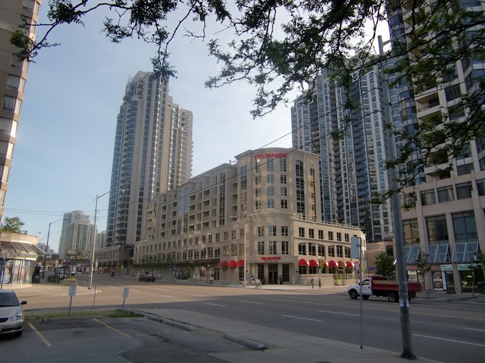
Park at Yonge and Lawrence
“I don’t’ get it…what’s so great about this place?”
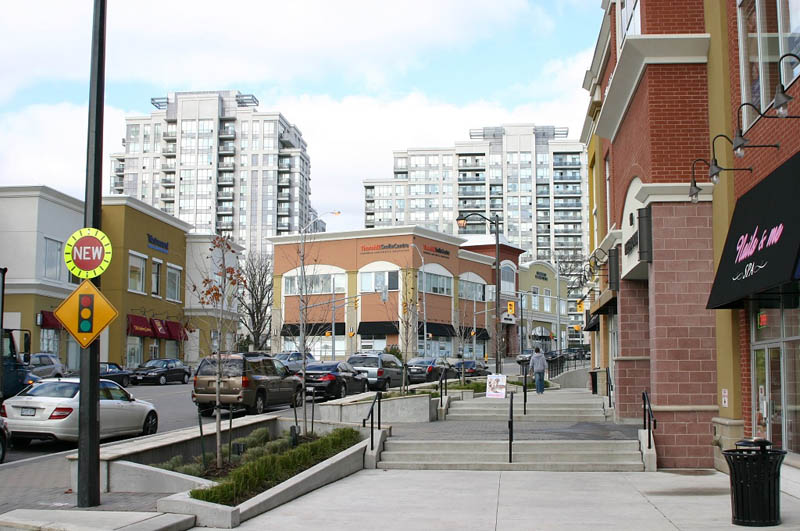
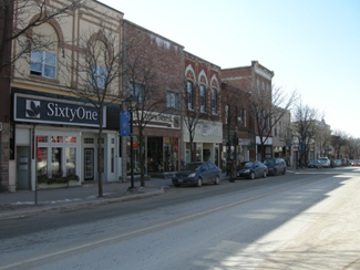
Walkable access to the Yonge subway has made getting downtown quick and easy. The housing stock is well kept and just a bit more spaced-out than communities further downtown. It’s not dominated by rental apartments like Yonge and St. Clair. Condos have squeezed in, but they are not as ubiquitous or as imposing as they are at Yonge and Eglinton. There’s a community feel to the main drag along Yonge Street north of Lawrence, in the sense that although some of the stores up here are fancy, by and large they’re still pretty useful.
And it’s that last point that is such a big deal. Because if you live in Toronto, you’ll know that the main drags of residential neighbourhoods fall into one of four categories.
- Grotty, storefronts either empty or full of things like cash for gold places and flea markets.
- Grotty, but full of useful stores that you need to run your everyday life like cleaners, fruit stands, drugstores, hardware stores, flower shops, etc. (I need the latter to get out of trouble.)
- Gentrified, but full of useful stores like above.
- Gentrified, and full of useless crap like art galleries and copper-plated kitchenware stores and gluten-free cupcakeries and $45-a-chicken butchers.
I know this, because right now I live in an area that’s a solid Stage 2. And you wouldn’t believe how quick things can change in a place like Toronto. I know this, because I used to rent in an area that went from Stage 3 to Stage 4 in less than two years.
Homey, everyday but upscale retail along Yonge just north of Lawrence
Some of the city’s most desirable residential neighbourhoods are served by a main streets that are downright beautiful but, unless you find yourself needing an eco-friendly feminist pharmacy once a week, are absolutely useless and require the worst of both worlds – car-based living in the big city.
So the people that live north of Lawrence have it very very good. Particularly when compared to those who live just seven or eight kilometres east of west on Lawrence – out in Weston or in Scarborough – where neighbourhoods around Lawrence are some of Toronto’s poorest.
Toronto. Ontario. Both are always a land of contrasts.
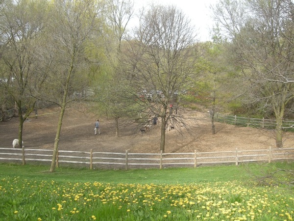
Dog park just south of the 401 at Yonge and York Mills / Wilson
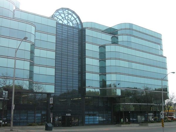
The sleek glass office complex at York Mills and Yonge Street is the most noticeable part of this windswept, lonely intersection. Even inside the building feels well-kept but forlorn – the GO Bus terminal, the York Mills subway station and the mini mall on the main floor nearly are always nearly vacant unless it is rushhour or lunch time.

Five Italian workers were killed in a tunnel fire in 1960 at York Mills. They are commemorated in this tapestry on display in the York Mills subway station.