 Sometimes I think I’m really bad at being away from home. Despite having a travel blog, I’m actually not much of a traveller. But despite being not much of a traveller, the number of opportunities I’ve squandered while being out of town are embarrassing.
- I once turned down the chance to hike a mountain in Grand Teton National Park because I was too lazy to pack a lunch.
- I could have come into some incredibly fine handmade Cree moose-hide gloves, complete with beadwork, but I was worried about landing in Timmins without any cash. (What if the bank machine is out?)
- I once passed on a hands-on biologist’s tour of state-of-the-art cattle grazing practices, based on the traditional grazing practices of buffalo, in Montana because I was sore from an hour’s horse ride.
- I caused my wife to miss the biggest antiques festival in Ohio only to find out that Cleveland puts the “Little” in “Little Italy.“
- I missed out on what will probably be a once-in-a-lifetime the chance to visit my grandmother’s original hometown near Budapest because I was too worried about whether the cabbies in Hungary would know enough English to get me from the airport to the city, so I opted to go to more English-speaking Sweden instead.
- I bailed early from a hell-raising American Legion singles party in Massachusetts because, well, ok it wasn’t just me – me and my friends we were young, from Canada, and all got a little nervous at the potential prospect of being further hit on by some really strange people.
- I didn’t get to visit the Idaho Potato Museum because I was hell-bent on getting a milkshake from a Salt Lake City fast food place I’d seen on TV. It turned out it was closed on Sundays.
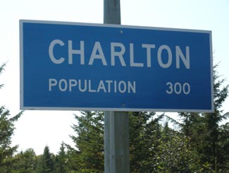
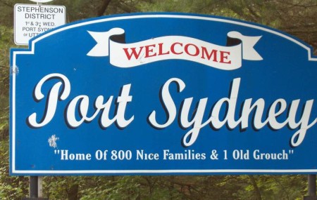
OK, so maybe that last one wasn’t the biggest missed opportunity in the world. But anyway, you’d never expect it, but Port Sydney is also one of these times.
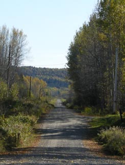
Port Sydney is a small little town about 20 minutes south of Huntsville. It isn’t on Highway 11, but I’ve included it because it’s close, and I once got lost looking for the Huntsville Swiss Chalet and ended up in Port Sydney instead.
Yeah. I got really really lost.
I’d promised my companion one restaurant meal in exchange for her agreeing to spend a valuable long-weekend day-hiking the Opeongo Trail. And I’d been to the Swiss Chalet once before – seeking refuge from a bad biology trip in university with some other non-nature-inclined suburban students. So I figured I knew where it was: one exit south of Huntsville of Highway 11.
Not so. And after two hours of driving backroad after backroad, u-turn and u-turn, detour after flailing detour, I ended up on a tidy road that hugged a small lake.
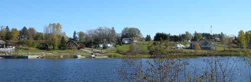
People were everywhere. The street was packed. Boats were on the water, kids in it. Kids were lining up for games. Parents were milling about in sandals holding ice cream, sausages, roast corn, beer. We were in the middle of nowhere and people were everywhere. I’m pretty sure there were fireworks planned off in the distance.
Someone was motioning me to pull over. “You can park up the hill a bit” he mentioned when I lowered my window. He was surprised to see me inch on through. “Got plans tonight then?” he said, or something to that effect. He waved for me to move up into the parking but I just kept going forward, slowly, saying nothing. Eventually he cleared a path of kids and I continued on my way.
It was Port Sydney’s annual festival. Too nervous to be found out as a non-cottager, I passed it up to go to Swiss Chalet instead.
The Port Sydney area has been settled since 1861. Albert Sydney Smith founded the town ten years later when he took over an abandoned mill and a dam. A plan for the village was created and it grew with the logging industry, until the railroad decided to bypass the town for Utterson. Logging then dwindled in importance and the tourist trade took over.
Port Sydney is really quite cute and is situated on a nice bit of waterfront along Mary Lake. There is a dam nearby, rapids, and the beach in town is the largest in the Muskoka area. There are bed and breakfasts and lodges in and around Port Sydney.
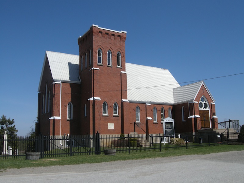
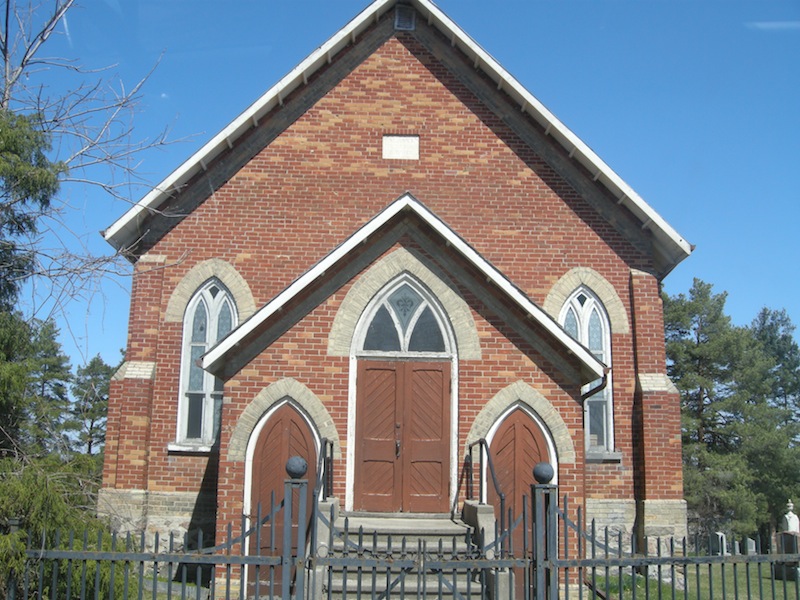
Port Sydney also had the oldest church in Muskoka until it was recently destroyed by arson. A new church has been built in its place and there is a plaque commemorating the old one.
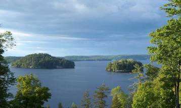
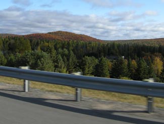
Lake and islands near Port Sydney, Ontario, just off Highway 11
At the junction of highway 141 and old Muskoka Road, Utterson is just west of Highway 11 and not far from either Port Sydney or Huntsville. Utterson was a stop on the old Canadian National Railway, and pretty much made nearby Port Sydney switch from lumber to tourism after the railway passed it by.
Utterson has a golf club, Muskoka Motion Boat Rentals, at least three bed and breakfasts (Secluded Trails, Streeter’s Landing, and Accents of Muskoka), Wilson’s Lodge, Sandwood trailer park, and a bunch of others places in the area to stay. Mile Lake is nearby and there is a lot of fishing and camping in the area. I’ve only passed through Utterson, so I don’t have too much to say about it. If you know of it, have any photos, or have anything at all to add please email me: info (at) highway11 (dot) ca
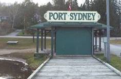
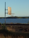
Dock at Port Sydney
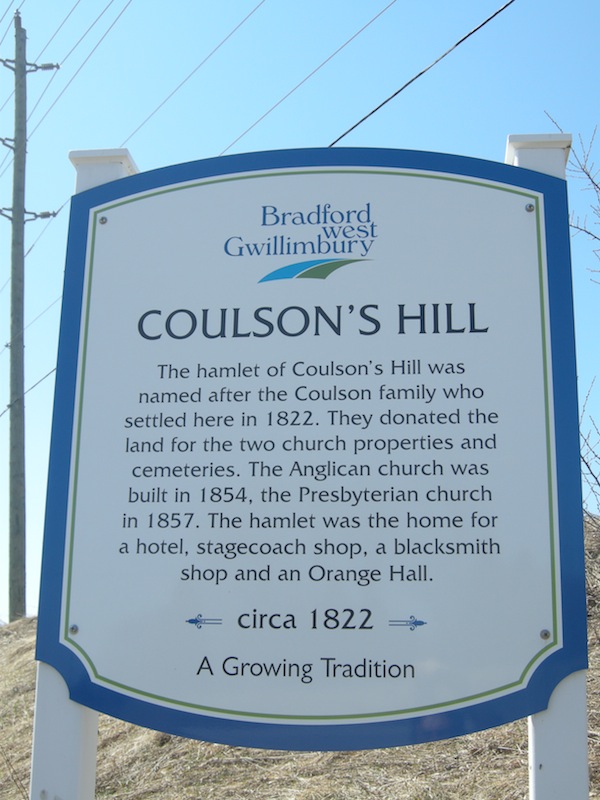 As you travel on Yonge Street / Highway 11 from Bradford, you’ll pass through two hamlets, both home to two churches, sitting atop a hill.